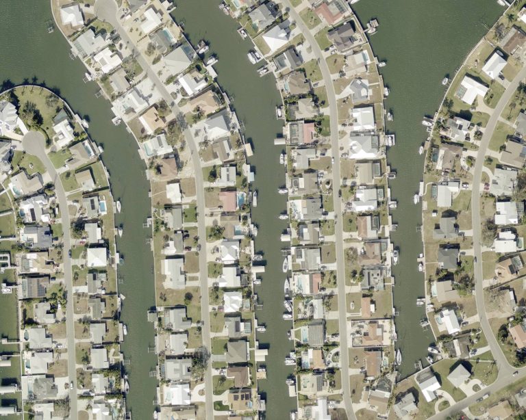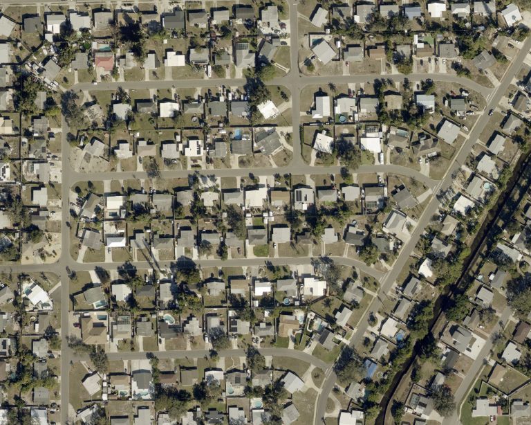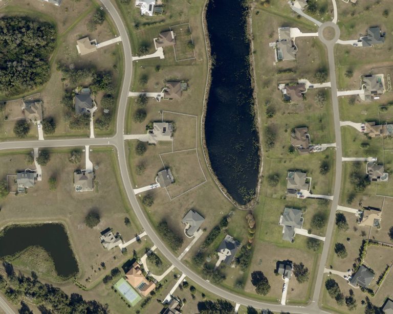
A place shaped by water
North of the River is defined by it: the Manatee River runs along Ellenton and Palmetto, and Terra Ceia sits on its own bay. Waterfront here can mean a riverfront lot, a bayfront home, a canal with a dock, or a pond view in a newer community.
What to check on a waterfront home
- Access: whether the water reaches open water by boat, and what bridges and depths are along the way.
- Seawall and dock: their age and condition, and any permits for work done.
- Flood zone and elevation: they drive insurance costs, so get a quote before your inspection period ends.
Living on the Gulf Coast covers flood zones and insurance in more depth.
Boat ramps and paddle launches
The public ramps and launches on the Manatee River, Terra Ceia Bay, and Bishop Harbor.
Parrish
- Fort Hamer Public Boat RampDirections to Fort Hamer Public Boat Ramp
- Rye Preserve Kayak AccessDirections to Rye Preserve Kayak Access
Ellenton
Palmetto
- Emerson Point Preserve - Canoe/Kayak DockThe county lists part of Emerson Point Preserve as closed. Check its page before you go.Directions to Emerson Point Preserve - Canoe/Kayak Dock
- Emerson Point Preserve Non-Motorized Launch BeachThe county lists part of Emerson Point Preserve as closed. Check its page before you go.Directions to Emerson Point Preserve Non-Motorized Launch Beach
- Riverside Park Public Boat Ramp - PalmettoDirections to Riverside Park Public Boat Ramp - Palmetto
- Terra Ceia Bay at Highway 19 - "Crab Trap" Paddlecraft AccessDirections to Terra Ceia Bay at Highway 19 - "Crab Trap" Paddlecraft Access
Terra Ceia
- Terra Ceia Bay at Highway 19 Northbound - Paddlecraft AccessDirections to Terra Ceia Bay at Highway 19 Northbound - Paddlecraft Access
- Terra Ceia Bay at Highway 19 Southbound - Paddlecraft AccessDirections to Terra Ceia Bay at Highway 19 Southbound - Paddlecraft Access
- Terra Ceia Preserve State Park - Bishop Harbor Primitive RampDirections to Terra Ceia Preserve State Park - Bishop Harbor Primitive Ramp
- Terra Ceia Preserve State Park - Frog Creek Kayak AccessDirections to Terra Ceia Preserve State Park - Frog Creek Kayak Access
- Terra Ceia Preserve State Park - Williams Bayou Kayak AccessDirections to Terra Ceia Preserve State Park - Williams Bayou Kayak Access
From the Florida Fish and Wildlife Conservation Commission's boat ramp inventory and Manatee County's own pages, checked October 9, 2026. Hours, fees, and closures change, so check the agency's page before you go.
Our favorite spots on the water
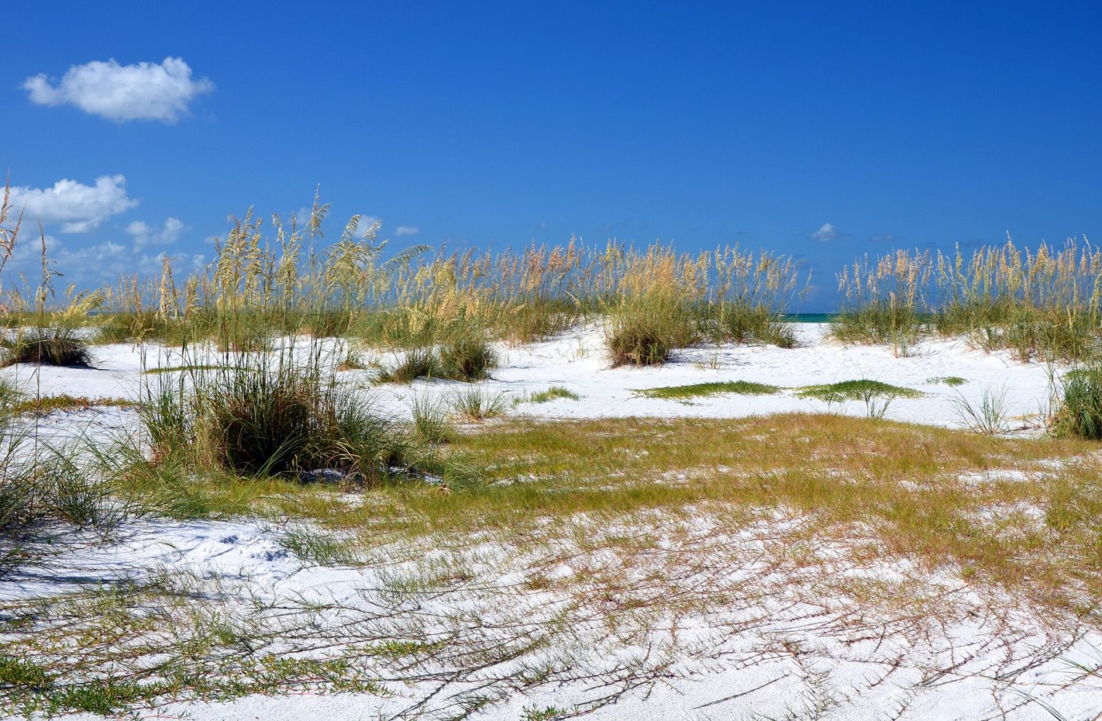
Bean Point
The undeveloped northern tip of Anna Maria Island, in the City of Anna Maria, where the Gulf meets Tampa Bay. No lifeguards; swimming is not recommended.
- Jim Hegemier's pick
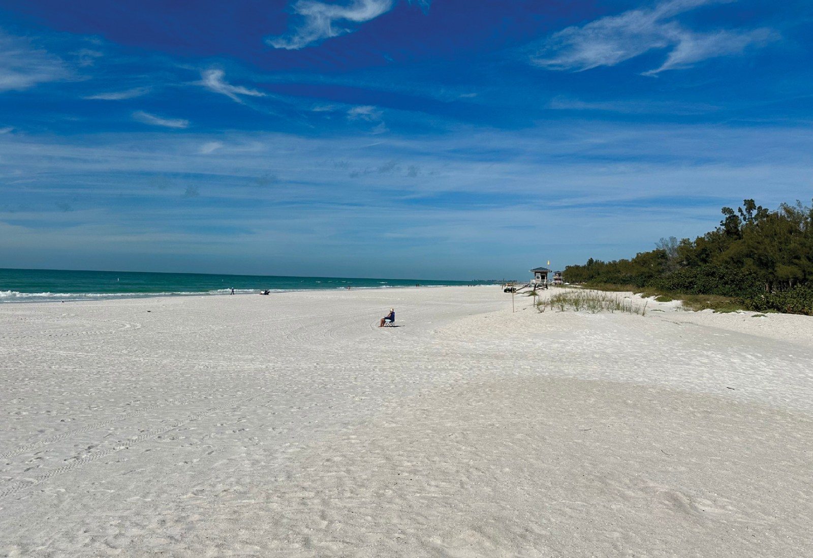
Coquina Beach
A Manatee County beach park at the south end of Anna Maria Island, on Gulf Drive in Bradenton Beach.
- Jim Hegemier's pick
Cortez Beach
A Manatee County beach on Gulf Drive in Bradenton Beach, on Anna Maria Island, with county lifeguards.
- Jim Hegemier's pick
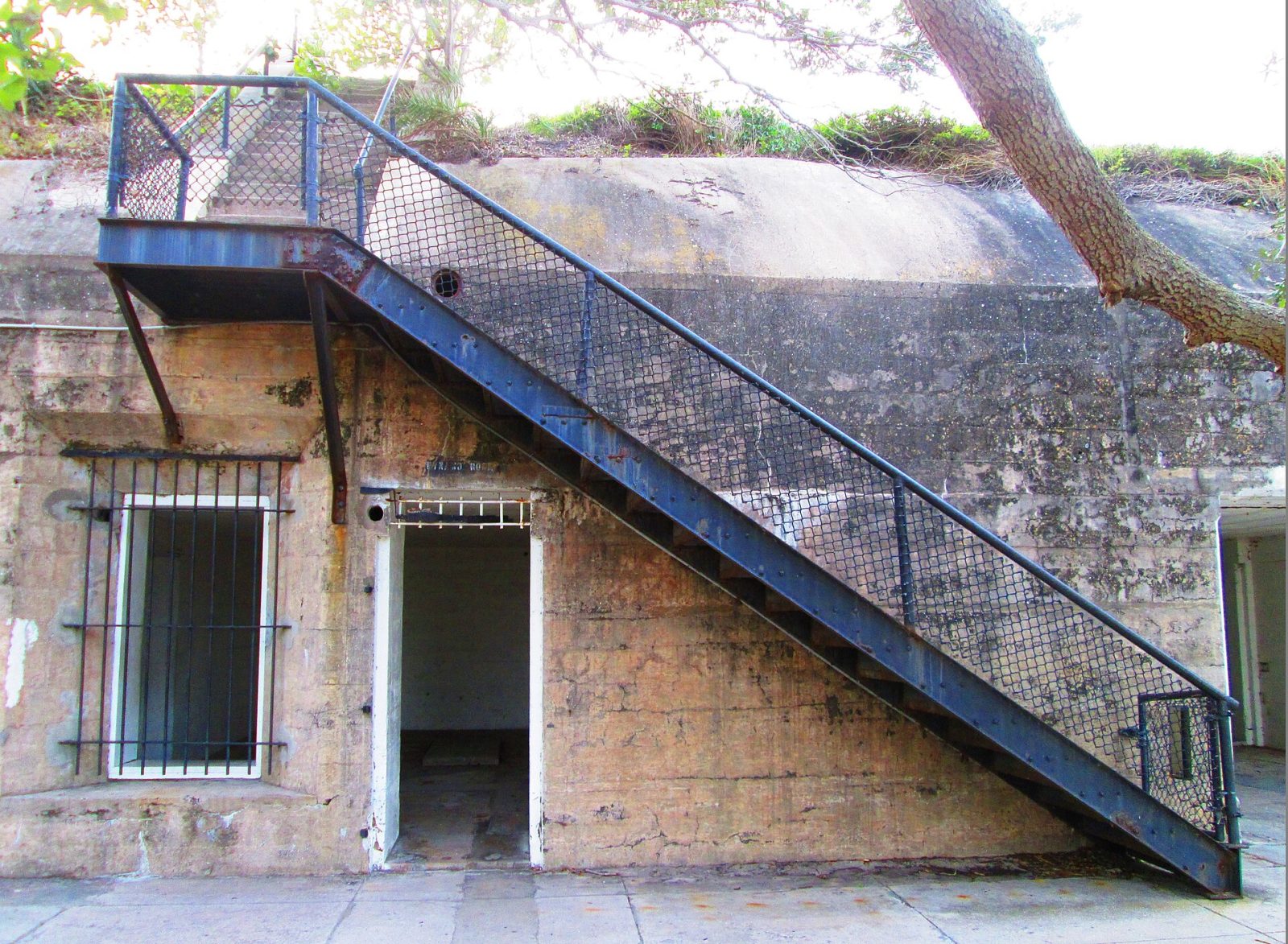
Fort De Soto Park
A Pinellas County park, outside Manatee County, near Tierra Verde across the Sunshine Skyway, with beaches, a dog beach and a historic fort.
- Jim Hegemier's pick
Greer Island Park
A Manatee County preserve at the north tip of Longboat Key, often called Beer Can Island.
- Jim Hegemier's pick
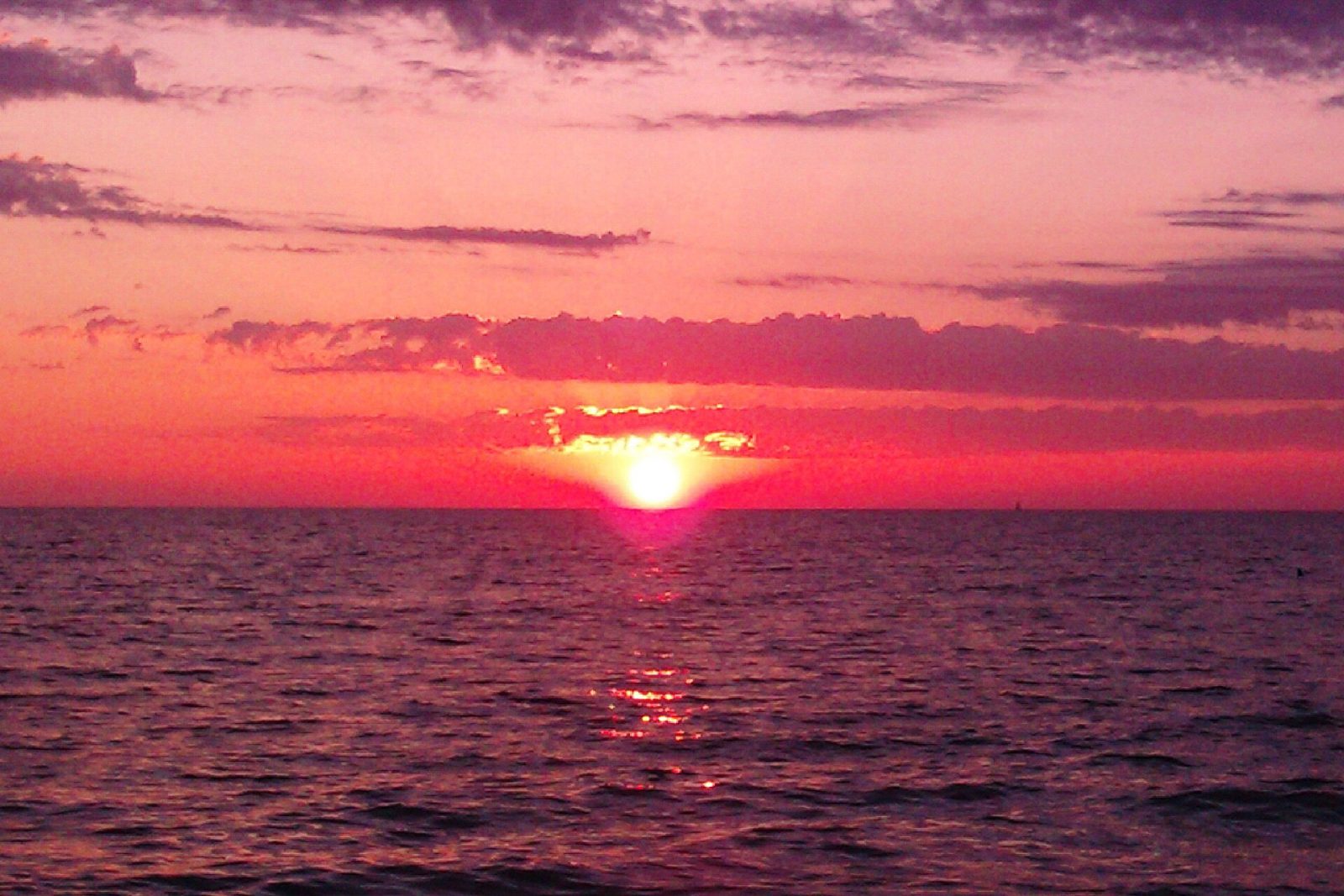
Holmes Beach
The city beaches of Holmes Beach on Anna Maria Island, reached by the city's public beach accesses.
- Jim Hegemier's pick
Manatee Public Beach
Manatee County's public beach at the end of Manatee Avenue (State Road 64) in Holmes Beach, on Anna Maria Island.
- Jim Hegemier's pick
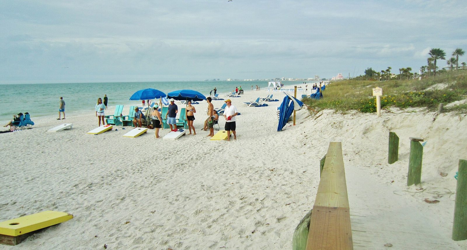
Pass-a-Grille Beach
A Pinellas County beach, outside Manatee County: the Gulf beach at the south end of St. Pete Beach, across the Sunshine Skyway.
- Jim Hegemier's pick
Communities with waterfront homes
The communities at the end of this guide list waterfront homes among their confirmed details. See each community's page for what that means there.